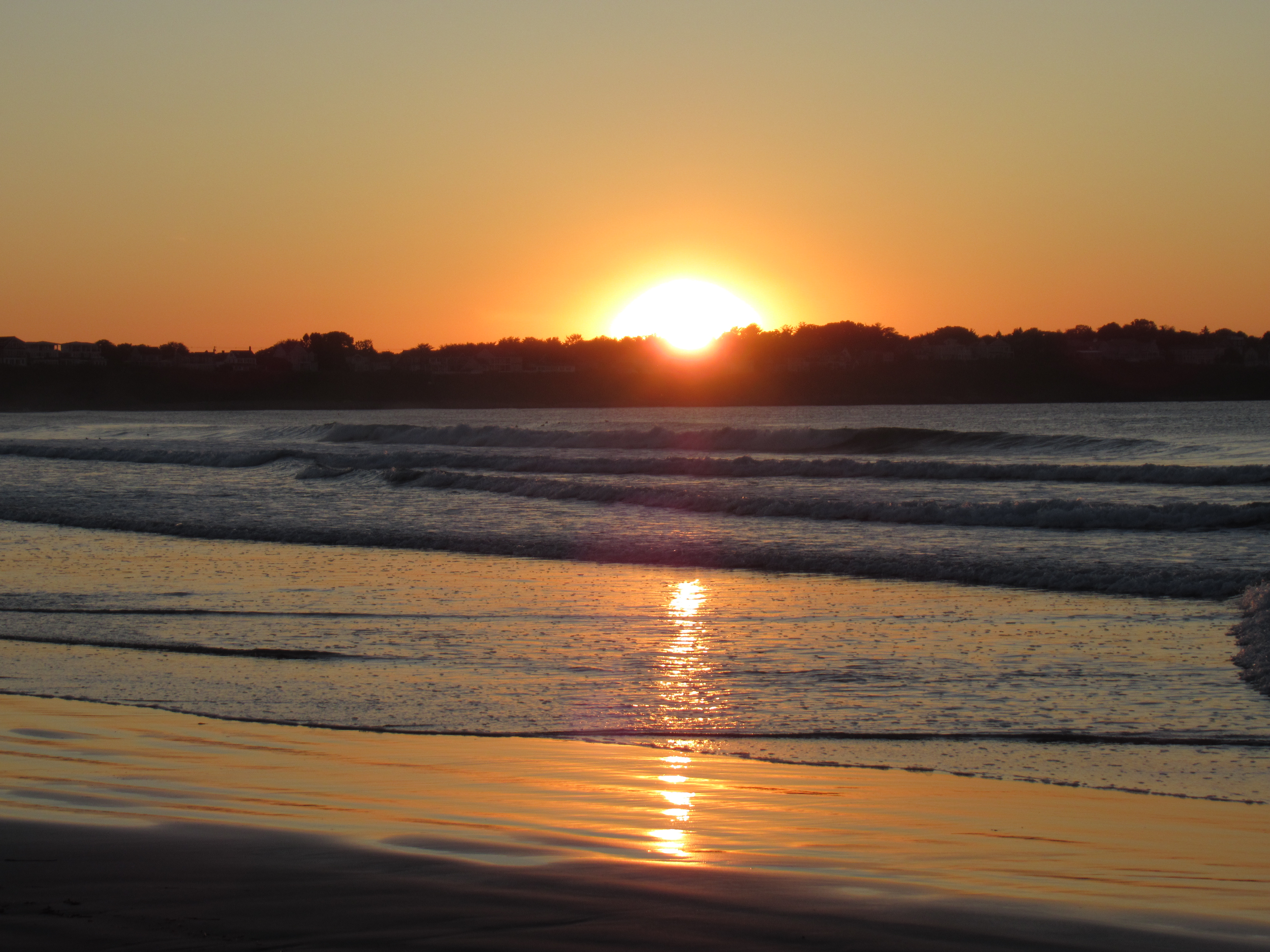
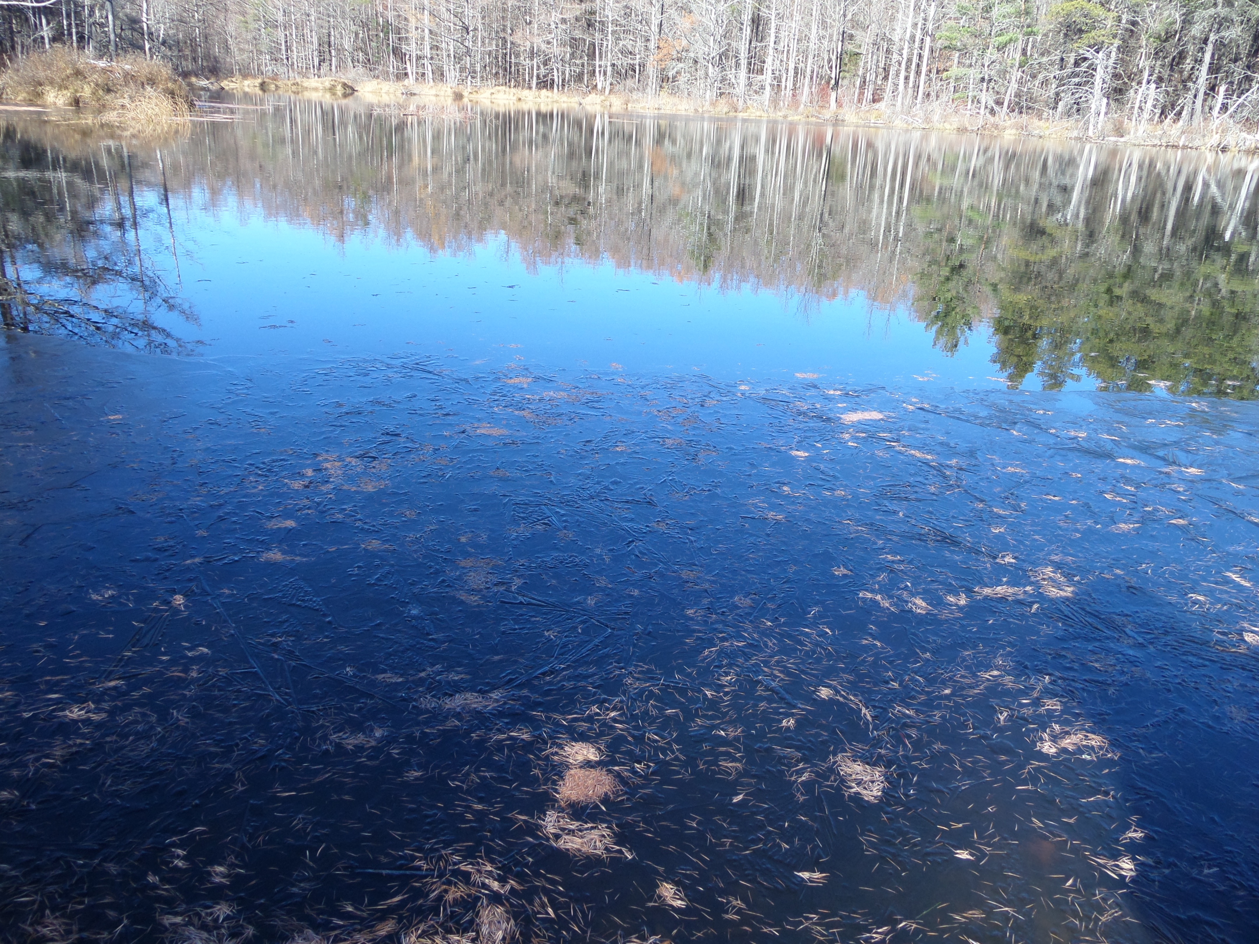
Tamaracks, evergreens, and marsh grasses at Hidden Pond in November.
C and I had visited Hidden Pond before, but it’s not a usual stopping place for us at Partridge Run. It is located far from our favorite sites, the water sits higher than the path (hence it is “hidden’) and dozens of deer paths crisscross and confuse the often unmarked main trail. We usually meander in the milkweed for quite some time before finding our way. Uncertainty and wandering can be joyful, my hiking partner reminds me.
This November day, C jumped out of her car. “It’s just going to take five minutes, so I’ve got my hat and gloves, no bag.” She also likes to travel light.
“I guess I’ll leave mine too.” I like being prepared, but I’d already hauled my overstuffed backpack for ninety minutes down the dilapidated snowmobile bridge to Gifford Hollow. This would be just a quick photo opportunity. “The laminated map is coming with me, though, since we got confused before. Do we follow the red snowmobile markers or the yellow ski trail signs?”
She shrugged. I tucked my camera in my jacket.
I try to mirror my hiking partner’s nonchalance, but it’s an effort. Each week she patiently hears me repeat the names of the roads and water features and how we are getting from one to another, even when they are familiar. I work hard to create maps in my head.
“Here’s the meadow from last time.”
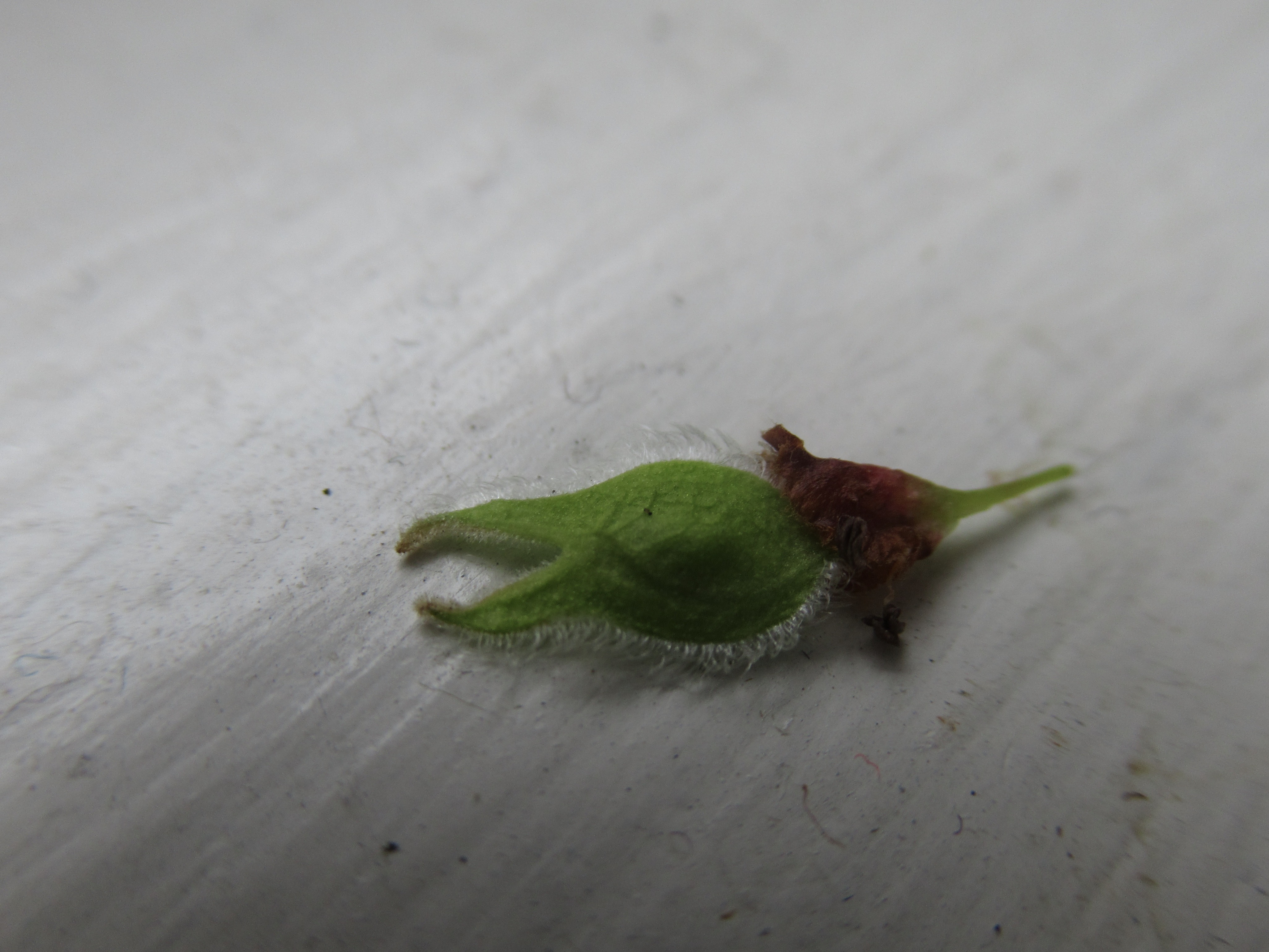
C giggled at a familiar landmark: “Oh look, it’s that penis plant.”
“You said it’s called mullein, right?”
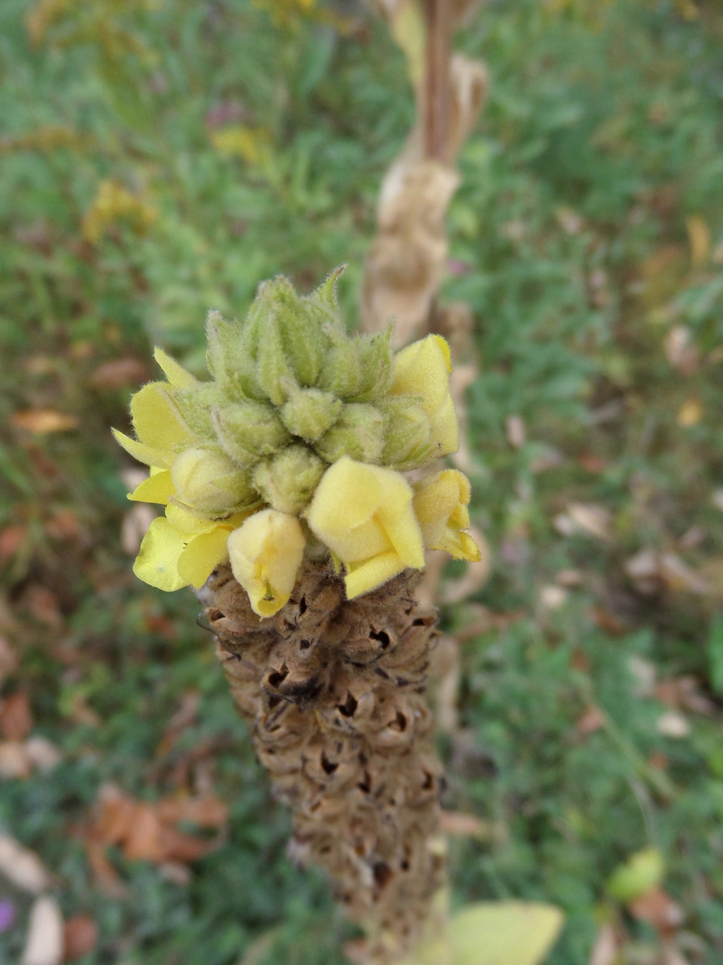
I’d taken pictures of other stalks of mullein, blooming yellow in the summer.
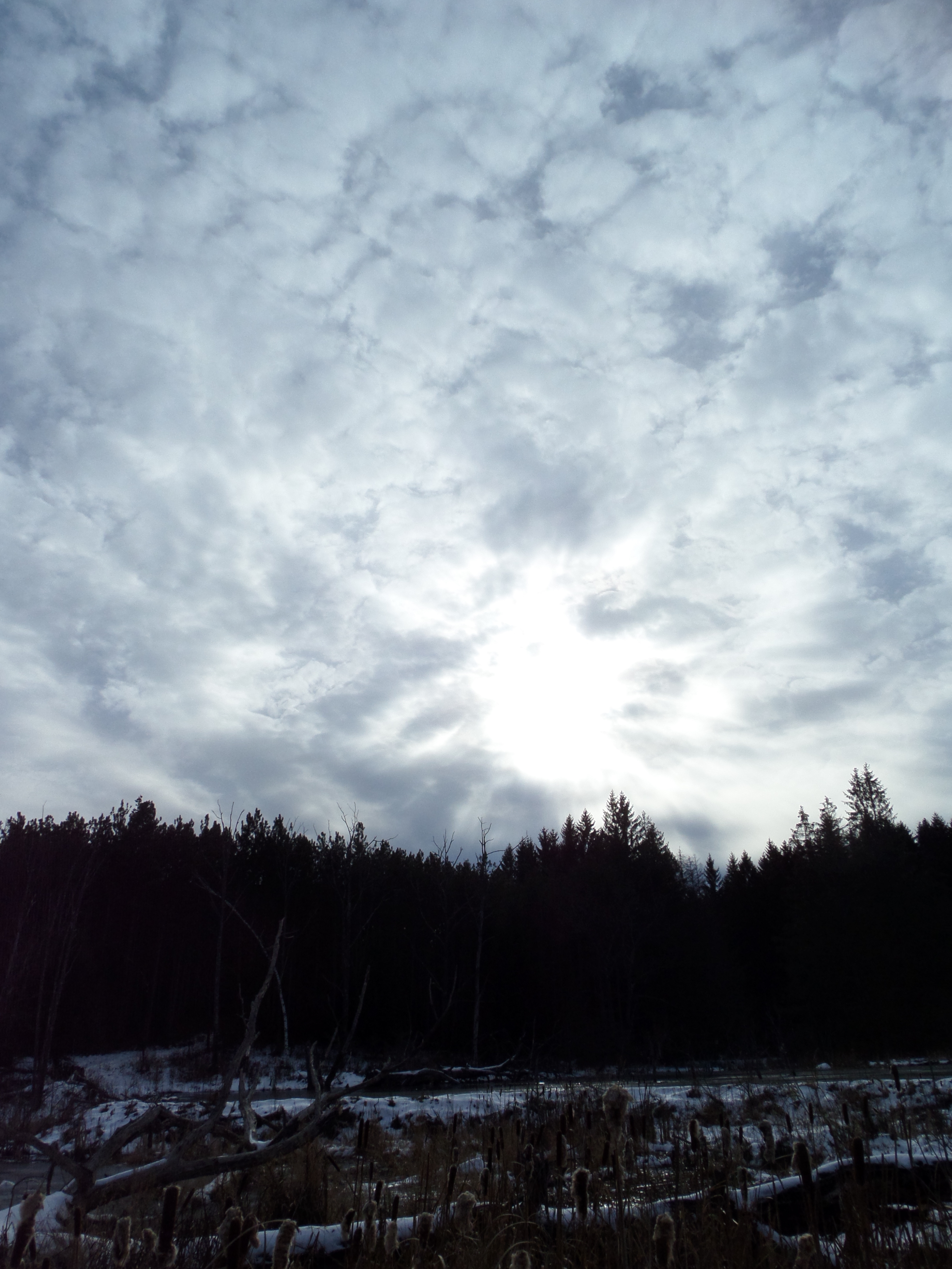
Then there, over the rise, the stunning deep blue of sky reflected into still water: Hidden Pond, ringed by tamaracks. Their golden needles had fallen and made patterns in the water.
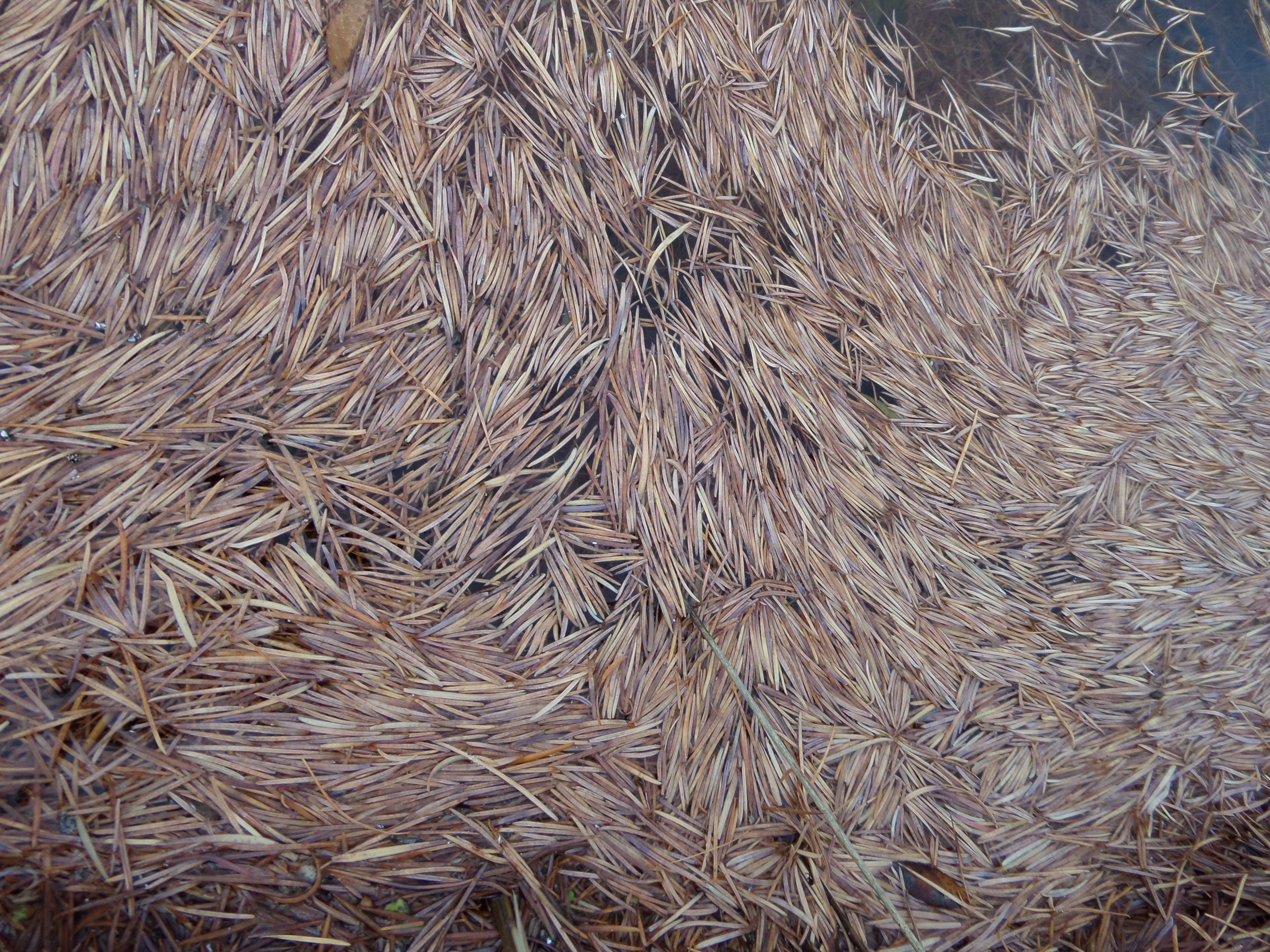
Tamarack needles remind me of log jams, dumped sewing needles, fur fluffed in all directions.
After we stood and listened to the quiet, took photos and noted the near-flooding of the path by new beaver activity, I referred to the map again. “If we keep going, we’ll circle around the pond and back to the road.”
We walked on. The turn did not appear. We walked and walked some more.
“What’s that large body of water on our left? Where are we?”
****
Once two winters ago we took a wrong turn on Beaver Road, and I didn’t have my map with me. My hiking partner was convinced we were going in the correct direction. We passed houses and farms and finally hit not the trail that we sought, but another road.
“Whoops!” she said. “But it’s an adventure. I like finding my way. I’ll eventually get to where I need to be.”
“I hate feeling lost.”
“But we know where we are now.”
I will note that we had to slog up a really steep and icy hill that day, and she cursed the whole way.
***
In one of my favorite books, Deep Survival, Laurence Gonzales writes about becoming lost, that moment of realization when frightened people then run in all directions and become truly lost. Knowing this, I stood still in spite of my panic. I took a deep breath and looked again at the map in my now trembly fingers.
I knew we hadn’t headed toward Beaver Road where the farms were. No gate had appeared—or any other landmarks. Therefore, the unexpected water must be Becker Pond, the only large body of water anywhere near any possible path.
We had to be on the dotted trail that skirted Becker Pond, which we’d only taken once before—when we’d come from the opposite direction.
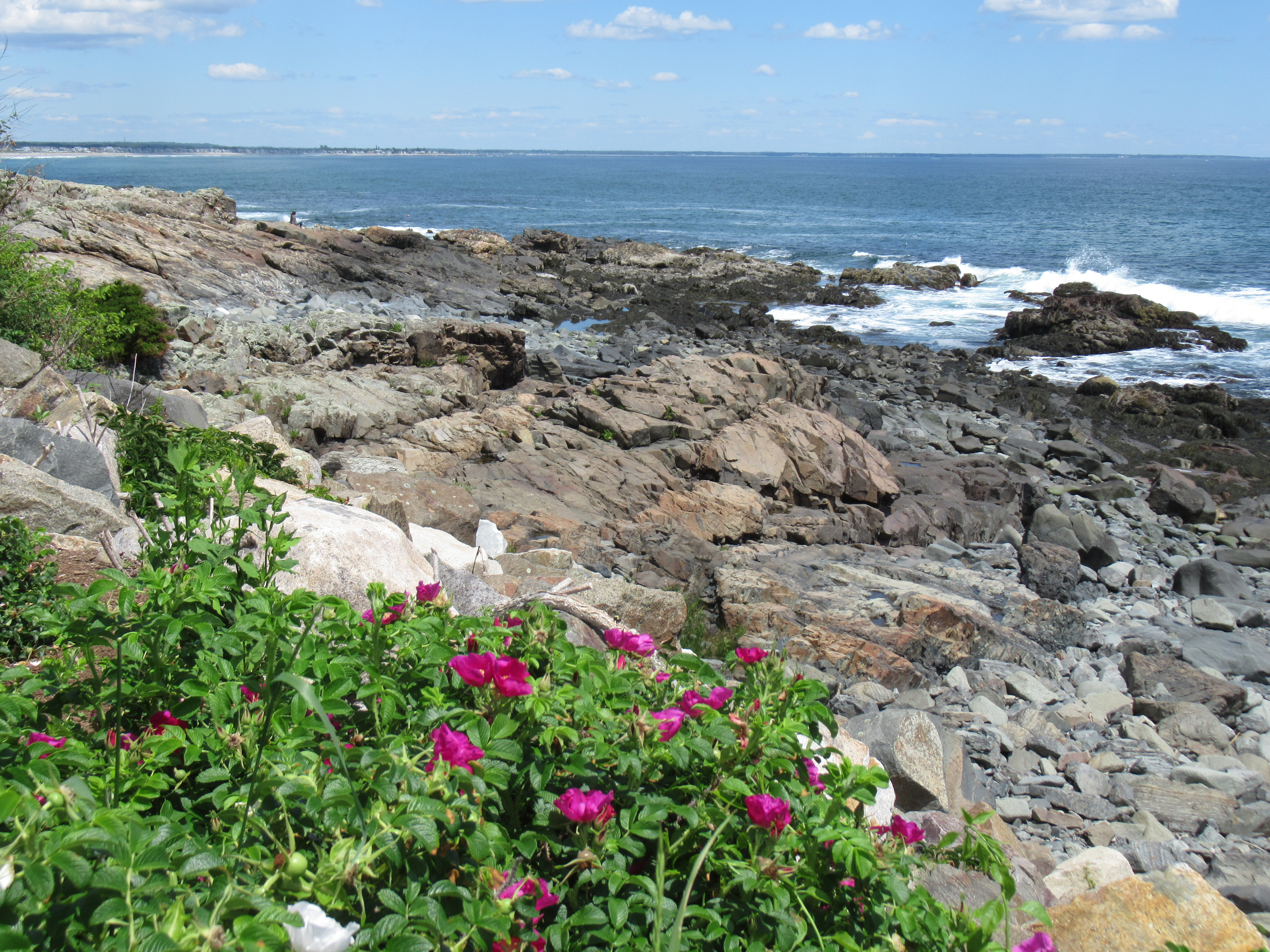
That day years ago we’d given up on one poison-ivy-filled route and tried another to get to Becker Pond. We never made it. Exceedingly fresh bear scat in the path sent us (we’ll admit it) running back the gravel track to the car. Our getaway vehicle had been parked at a pull-off, next to a long couch dumped in the brush. Burned into our brains by adrenaline, the spot was forever after known as The Parking Area with the Abandoned Couch—even though the torn gray sofa was removed the following year.
****

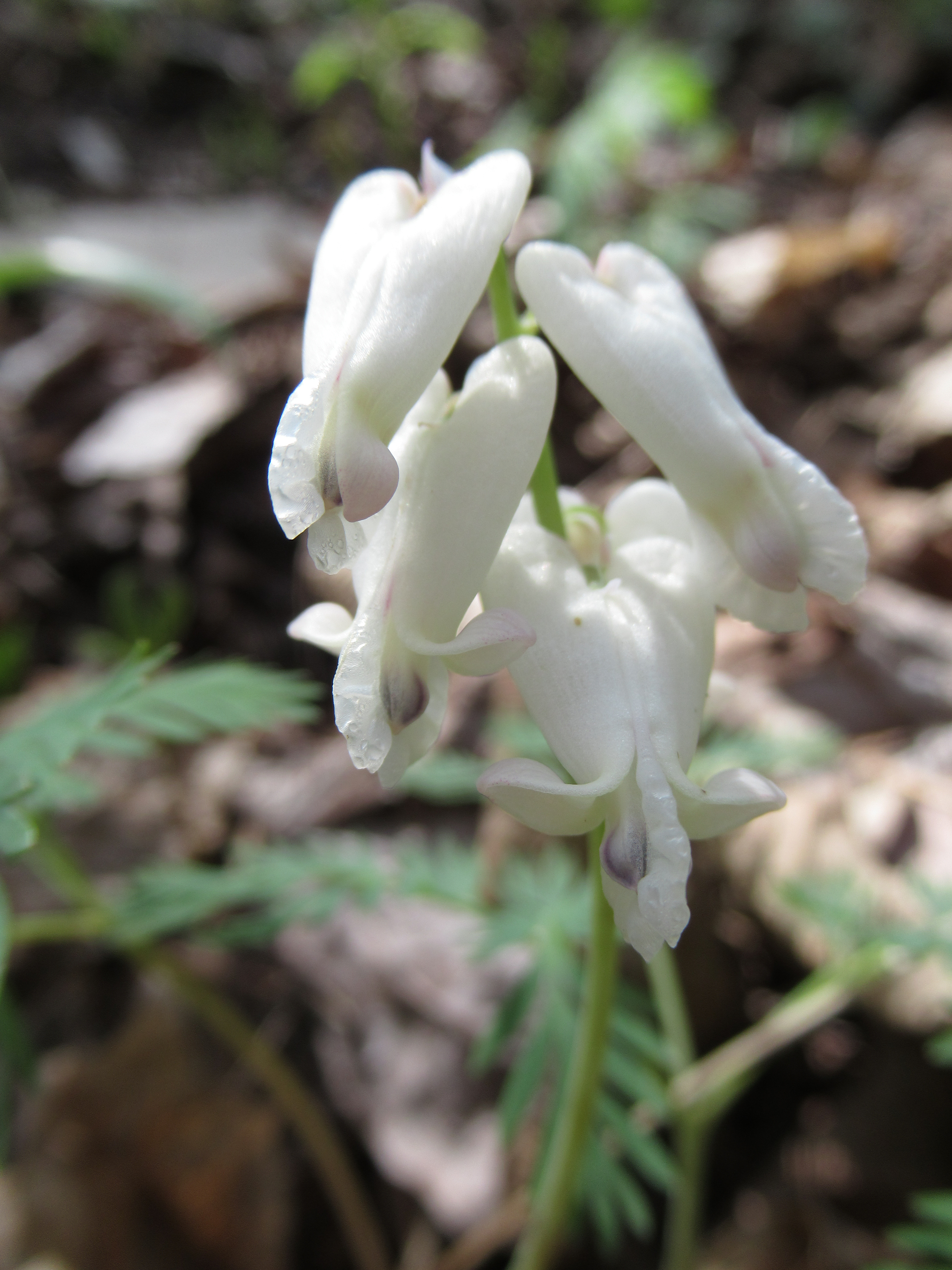
The last blooming clover we saw before winter. Spider moving fast, like me.
I felt a little calmer now, reminded of that traditional memory technique: to note stories or experiences at a place, in order to create a different kind of map in your head.
Examples jumped into my brain, from other days and walks: This is where the chipmunk popped out at us. This is where we stopped and took pictures of a feather in the ice. This is where the grouse surprised us with a thrumming dance. This is where we ran into the young man looking for a waterfall from his childhood…..This is where the bear scat was.
I remembered that we’d also approached Hidden Pond from yet another way, on a deeply frozen day. Hidden Pond is where the headless vole surprised us, splayed out on the snow.
We’d had lots of those memory-building experiences, though not on this exact path or from this direction. Would that help?
***
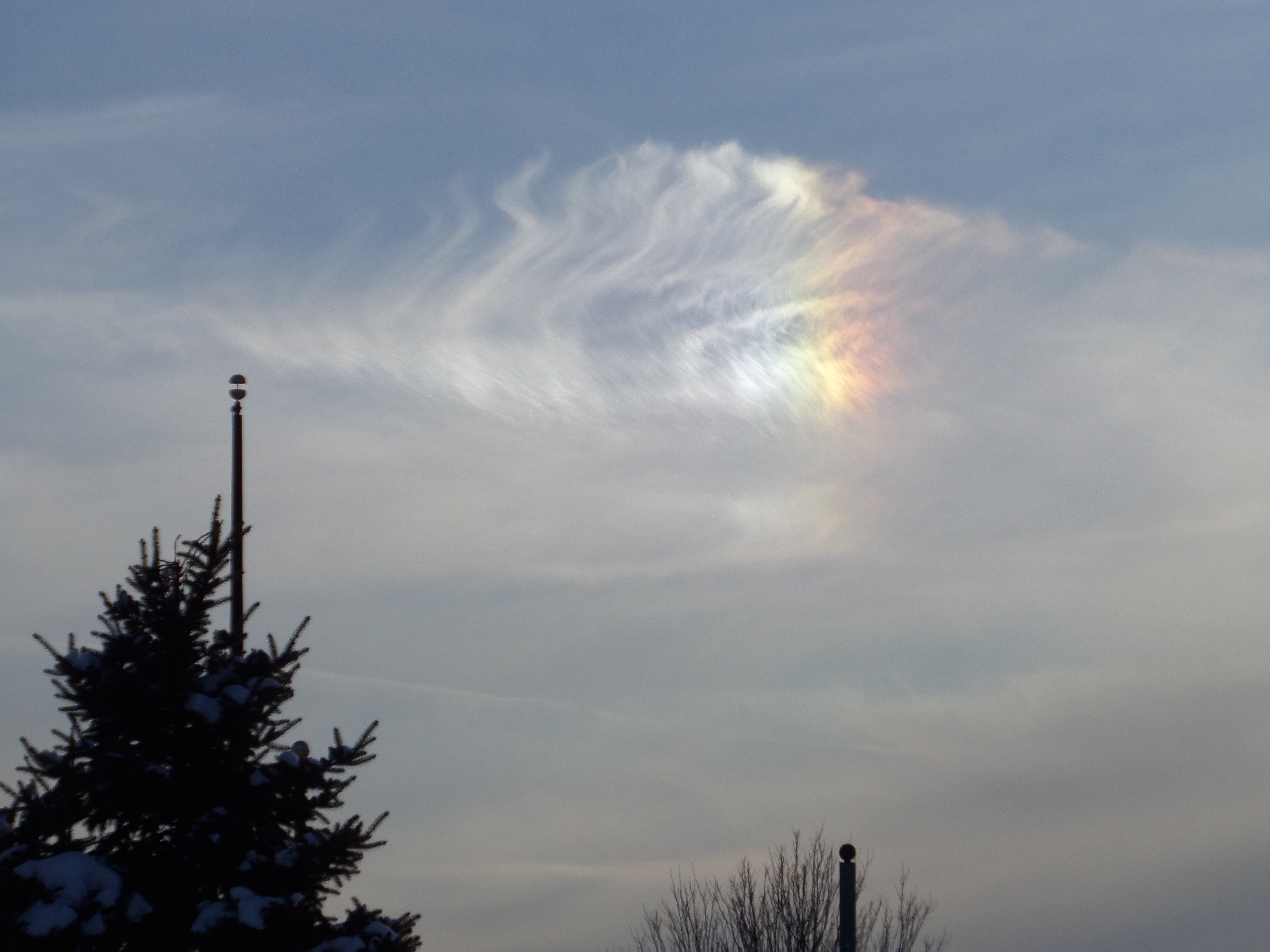
I looked at my watch and squinted at the winter white sky. It was 1:30. We had three hours of sunlight left.
In a way, I knew we weren’t truly lost. We might end up walking an extra hour or two; if incorrect, we could just backtrack to Hidden Pond, though now we were more than thirty minutes down the sodden route and preferred to keep going. I still took physical stock of our situation, as if it were real danger. Which it felt like, somehow.
“It’s not snowing or raining and we are well hydrated and fed, since we already ate our tuna salad sandwiches. We have our apple crisp—damn, it’s back at the car, along with the water.”
“No worries,” C said. “I love these hemlocks nodding overhead.”

Before I got too freaked out to gaze upwards–
Hemlocks? I wasn’t able to look. My heart rate had moved into overdrive, and my feet were walking faster than I wanted them to. My visual focus had narrowed, just like Gonzales describes in his book. (I was wrong before, I was SO wrong, could I get us back?)
The map seemed to indicate we could keep going past Becker Pond, then a stream would cross over or under the path and soon after, there would be an administrative/service road to the right. That road should take us to the Former Couch Parking Area, and High Point Road, where our car was parked, though much further north. As we walked, I reviewed the way out, but also second-guessed it. Ever since the the map in my head hadn’t matched the map in my hands, my equilibrium had gone tipsy-topsy.

Red stem dogwood mists the distance–is there a pond beyond?
“Is that the stream, heading toward the marsh that feeds Becker Pond? Yes, yes it is! Don’t worry, the road should be coming up…”
No answer from behind me. C was busy listening to the blue jays squawk at our intrusion.
“This is where we found the bear tracks. Well, maybe. I see gravel and rocks in the path like before. The service road is to the right. I’m sure of it.”
No, no road to the right. Walk, walk, walk.
My hiking partner, unruffled: “Look at the the semi-circles: horse hooves. And lots of horse poo. What a prolific animal!” I found myself hurrying ahead.
We came across a faint path on the right marked with pink ribbons.
C’s only comment? “That doesn’t look like a road.”
I knew ribbons in the woods usually indicate something marked that is not obvious. It could be a way around an obstacle, or a trail disguised by the heavy overgrowth of summer and fall. A trail possibly known otherwise as an administrative road.
“I’ll go by myself and see, but I think it’s our way out.” I worried that I was wrong even as I said it—would we be doomed to hike until dark, or worse?
Within a few steps, I knew. From the brambles I hollered: “Here’s what we called the dark and mysterious stand of evergreens. And the burned stump I thought was a bear.”
C was not bothered by her misreading of the pink markers. “I knew we’d get out. Eventually.” She grinned. So did I.
***
There was yet another tall hill to climb, but the roadside was sprinkled deep with those golden tamarack needles. The sky was open. We bragged about our upcoming Thanksgiving menus and even came across an evergreen snag that we had driven past the previous February—a standing dead tree, splintered and exploded by that winter’s extreme cold. More stories, more memory devices.
At the car, sipping water: “I have to go back and see where I made the mistake. I have to make the map right in my head.”
I discovered that Hidden Pond is actually already on the dotted path to Becker, that you have to turn around from the overlook and return on the original path. Or you will, as we did, be forced the long way around. It was supposed to be a five minute saunter to Hidden Pond and it turned into an hour and fifteen minutes.
That made me ask: Why do C and I get along so well as hiking partners?
Easy–we make decisions together. She actually respects my use of maps, and I rely on her confidence that we will be fine, no matter what. After all, we’ve survived ground bee attacks, impassible routes, exhausting hill climbs, hunters shooting a little too close, and getting lost. Together we walk and wander, have experiences and create memories–mental and emotional maps of our adventures—and now we have a new story to tell.
We went back the following week. The sky was even more blue, the trees were almost stripped of needles, and thin ice had appeared. Hidden Pond is one of our favorites, now.